
Resources
Breathing Space: A Fact-file of 600 Reserved Public Open Spaces in Greater Mumbai
Forts of Mumbai: Abandoned Treasures
Letter to Municipal Commissioner reg. Underground Pay & Park at Bandra, Byculla (2018)
Letter to MCGM Objection regarding change in reservation of J Nehru Garden (2015)
Letter to CM Urgent need for a Comprehensive Open Space Policy for Greater Mumbai
Letter to CM_RG, PG Proposed Policy (2016)
Letter to CM regarding Plans to construct theme parks on the Mahalaxmi racecourse (2016)
Letter to CM regarding open spaces policy & taking back of POSs (2018)
Letter to CM regarding extended use of reserved Playgrounds to 45 days for non-sport activities (2014)
Letter to CM regarding degradation of Aarey Milk Colony (2015)
Letter to CM on new RG-PG policy (2015)
Letter to CM on 4G & Resolution (2014)
Letter to CM in regards to Zoological and Botanical Park at aarey Colony (2011)
Letter to CM in regards to stay on Caretaker Policy (2009)
Letter to CM in regards to Azad Maidan (2017)
S&O to SWM Byelaws 2025
S&O to SGNP ESZ Draft ZMP (2025)
S&O to Proposed Modification 33 (27) (2025)
S&O to Inclusion of Provision No. 15.5 in UDCPR 2020 (2025)
S&O to Draft Policy for Outdoor Advertisements 2024 (2025)
S&O to Draft DP BBRS 2041 (2025)
S&O to Change in reservation of BKC POS Plot (2025)
Objections to LED Screen Bus Stop outside CST (2025)
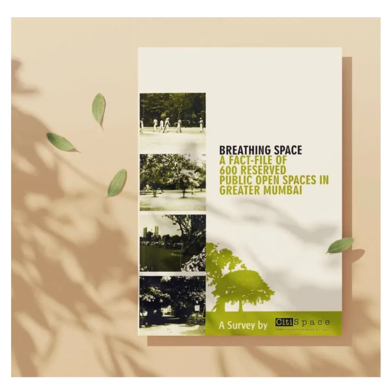
CitiSpace (Constituent of NAGAR) published this book to make information on Mumbai’s Reserved Open Spaces (ROS) widely accessible. A survey of 600 ROS, conducted by two architects with the support of 44 architecture students and surveyors, documented their status as per the Development Plan (DP) of Greater Mumbai. The publication aimed to empower citizens to challenge encroachments and engage constructively with the MCGM, while also supporting authorities in preparing the new DP (2014–2034).
Section I presented 23 ROS, selected to represent each of Mumbai’s 24 wards, with detailed surveys including location, layout sketches, and photographs. These plots highlighted common issues such as encroachments, lack of maintenance, and misuse by clubs or hutments.
Section II summarised the remaining 577 surveys, organised by the Island City, Western Suburbs, and Eastern Suburbs. Each ward included a DP map marking the surveyed plots, colour-coded by status, green cover, maidans, water bodies, paved, or encroached. Findings for each ward were analysed and presented in pie charts to show the overall condition of ROS.
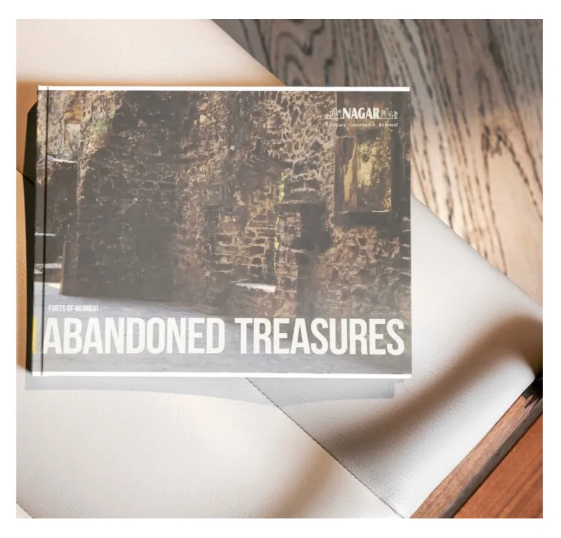
NAGAR conducted an on-site physical survey of Mumbai’s forts to assess their condition and that of their surrounding areas.
During the Portuguese period, Mumbai, then called Bombaim, meaning “Good Bay”, had eleven forts, of which only eight survive today. All remaining forts are designated as protected monuments. NAGAR has documented the findings of this survey in the book Forts of Mumbai: Abandoned Treasures, aiming to raise awareness and encourage their preservation.
The conservation and management of these forts fall under the jurisdiction of two government authorities: the Archaeological Survey of India (ASI) at the central level and the Directorate of Archaeology and Museums at the state level. This book provides a comprehensive overview of the current status of these historic monuments, highlighting their significance and the need for continued preservation.