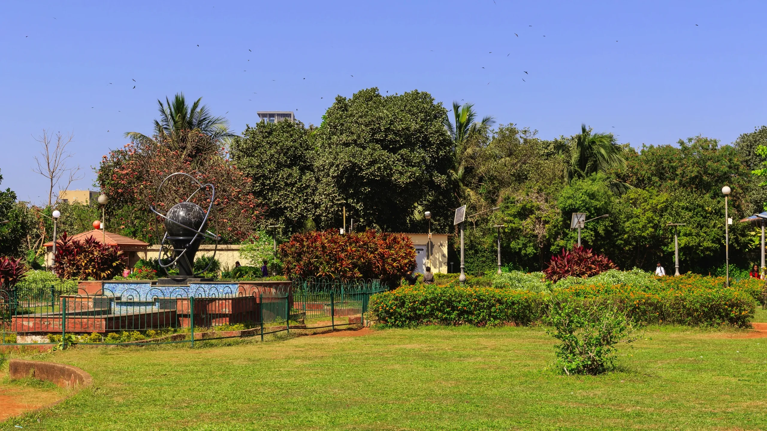
NAGAR, in collaboration with the Urban Design Research Institute (UDRI), initiated a project to map and develop a management strategy for public open spaces in Greater Mumbai through ground surveys, policy analysis, and the use of digital tools for data management. The data was organised using a GIS-based toolkit, and the project mapped and documented DP 2034–designated open spaces in two pilot wards. As part of this ongoing work, we are developing an open space strategy document to guide the conservation, management, and enhancement of the city’s open spaces, with the broader aim of strengthening long-term safeguarding measures for Mumbai’s open space network.